How to Check Land With Satellite Images Online: A Simple Step-by-Step Guide
Learn how to check land with satellite images online using TerraNeuron to review recent imagery, historical change, vegetation, water signals, terrain and land cover in one simple workflow.
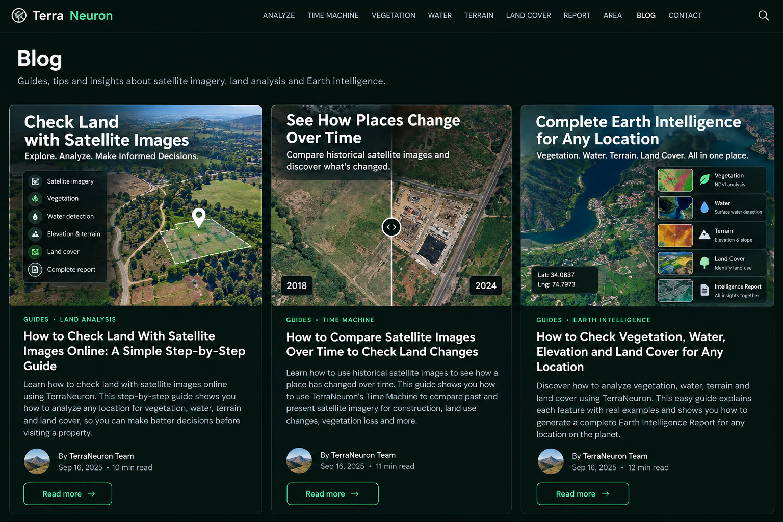
If you want to check land with satellite images online, you may not know where to begin. Satellite websites can show a lot of data, but many of them are designed for scientists or GIS professionals. The maps, bands, dates and technical terms can quickly become confusing.
TerraNeuron is designed to make this process easier. You can enter a place or coordinates and use several Earth-intelligence tools without learning professional mapping software. This guide explains a simple workflow for people researching a property, farm, neighborhood, development site or any other place on Earth.
What can satellite land analysis help you see?
Satellite imagery can give you useful visual context about a place. You may be able to see roads, buildings, open ground, vegetation, water, nearby development and broad changes over time. Repeat observations are especially useful because one image only shows one moment.
Satellite analysis is not a legal land survey. It cannot prove ownership, confirm an exact property boundary or replace a physical inspection. Think of it as an extra research layer that helps you ask better questions before you make a decision.
Step 1: Find the correct place
Start with the TerraNeuron Analyze tool. Search for a city, neighborhood, landmark or property area. You can also enter latitude and longitude when you already know the coordinates.
Check the resolved place name and coordinates before continuing. This sounds simple, but it matters. Two places can have similar names, and a satellite analysis is only useful when you are looking at the correct location.
Step 2: Look at the current satellite context
After finding the place, inspect the available satellite view. Look at the wider area first rather than immediately focusing on one small feature. Ask basic questions: Is the area mainly built-up or open? Are there roads nearby? Is there visible vegetation? Is there water? Does the surrounding area look rural, suburban or urban?
Sentinel-2 is designed for land observation and supports monitoring of vegetation, soil, water cover, inland waterways and coastal areas. You can read more about the mission on the official Copernicus Data Space Sentinel-2 page.
Step 3: Check historical satellite imagery
A common search is how to check land history using satellite images. TerraNeuron's Earth Time Machine helps with this. Choose an earlier period and a later period, then compare the observations.
Look for changes that remain visible rather than tiny color differences. A new road, a group of buildings, cleared ground or a large change in vegetation can be meaningful. But season, snow, cloud, shadow and different observation dates can also make two images look different. TerraNeuron therefore shows scene-quality information and keeps the comparison separate from legal conclusions.
Step 4: Check vegetation with NDVI
If your question involves plants, fields or green cover, open Vegetation Intelligence. TerraNeuron uses NDVI, or Normalized Difference Vegetation Index, as a satellite-derived vegetation signal.
NDVI is useful when you want to understand how strongly vegetation is represented in the observed pixels. A higher vegetation signal does not automatically mean a crop is healthy, and a lower value does not prove that land is damaged. Weather, season, soil, harvesting and other conditions can affect the result.
Step 5: Look for a surface-water signal
The Water Intelligence tool uses NDWI to measure a spectral water signal. This can help when someone is searching for ways to check water near land using satellite data or wants another environmental clue about an area.
TerraNeuron reports the measured NDWI values and a stronger open-water signal threshold. Treat this as observational information. It is not a surveyed shoreline, flood certificate or legal water boundary.
Step 6: Understand elevation and terrain
Open Elevation & Terrain Intelligence to see the mean, minimum and maximum elevation around the selected point, plus the local elevation range. Terrain context can be useful when researching hilly areas, valleys or locations where surrounding relief matters.
The tool uses Copernicus DEM GLO-90 data. The measurements provide broad terrain context; they are not survey-grade spot heights.
Step 7: Check land-cover information
The Land Cover Intelligence tool adds another layer. Land cover describes the physical material or type of cover observed on Earth's surface. TerraNeuron uses documented Copernicus land-cover provider data rather than guessing a land-cover label from NDVI.
Always pay attention to the product year shown in the result. Land-cover datasets have a specific vintage. Historical classification should not be described as if it were a live observation today.
Step 8: Bring the signals together
If you do not want to open every tool separately, use the TerraNeuron Intelligence Report. It brings vegetation, water, terrain, scene quality and land-cover information together for one location.
This is useful for a first-pass satellite land analysis report. It gives you a structured overview and makes it easier to decide what needs closer investigation.
A simple checklist before you finish
Confirm the location. Compare more than one date. Consider season and cloud conditions. Review vegetation and water signals as measurements, not diagnoses. Check terrain context. Note the land-cover product year. Finally, compare what you see with official local records and a physical inspection when the decision is important.
Who can use this workflow?
This approach can help land buyers doing early research, property owners checking surrounding change, farmers looking for vegetation context, students learning Earth observation, environmental researchers doing quick screening, and anyone curious about how a place has changed.
The main benefit is simplicity. Instead of opening several technical data portals and trying to understand raw satellite products, TerraNeuron puts the most useful signals into a readable workflow.
Start your land research
If your question is “How can I check this land from satellite before I visit it?”, start with Analyze a Place. Then use the Time Machine, vegetation, water, terrain and land-cover tools as needed. Satellite information will not make the final decision for you, but it can give you useful context before you take the next step.