How to Check Vegetation, Water, Elevation and Land Cover for Any Location
Learn how to research vegetation, surface-water signals, elevation, terrain and land cover for a location using free Earth-observation tools in TerraNeuron.
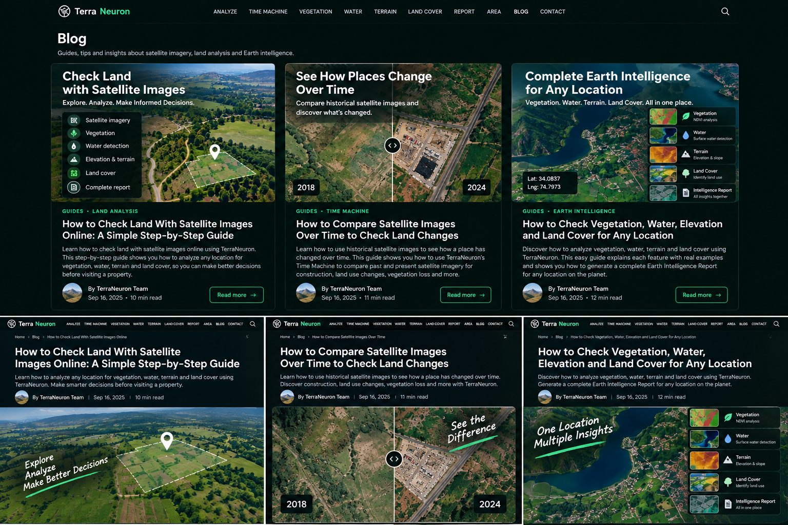
Sometimes a normal map is not enough. You may want to know whether an area has a strong vegetation signal, whether satellite data shows signs of surface water, how high the land is, how much the local terrain varies, or what official land-cover data says about the area.
These questions normally lead to different mapping websites and technical datasets. TerraNeuron brings several of these Earth-observation signals into one simple interface. This guide shows how to check vegetation, water, elevation and land cover online without needing GIS software.
Who is this type of Earth intelligence useful for?
It can help people doing early land research, farmers exploring vegetation context, property owners studying their surroundings, students learning remote sensing, environmental researchers doing quick screening, hikers or outdoor researchers interested in terrain, and anyone curious about a location.
The important word is context. These tools help you understand a place from Earth-observation data. They do not replace a land survey, environmental assessment, agricultural diagnosis or local authority record.
Start with the right location
Use TerraNeuron Analyze to find a place. Search by name or use coordinates. Once you have the right point, you can move into the specialized tools.
For important research, save the latitude and longitude. Coordinates remove ambiguity and make it easier to repeat the analysis later.
How to check vegetation with satellite data
Open Vegetation Intelligence. TerraNeuron uses NDVI, which stands for Normalized Difference Vegetation Index. NDVI uses the way vegetation reflects red and near-infrared light to create a vegetation signal.
The result includes a mean NDVI value, observed range, valid data coverage and the percentage of valid pixels meeting the displayed vegetation threshold. This makes raw spectral information easier to read.
If you are searching for how to check vegetation on land using satellite images, NDVI is a useful starting point. But it is not a plant-health diagnosis. A field after harvest may have a lower vegetation signal. A dry season may look different from a wet season. Clouds and other conditions can also affect observations.
How to check surface-water signals with NDWI
Next, open Water Intelligence. This tool calculates NDWI from Sentinel-2 green and near-infrared observations. It reports the mean signal, observed range, valid coverage and the share of pixels above the displayed stronger water-signal threshold.
This can help answer a question like how to check for water near land using satellite imagery. A stronger NDWI signal can indicate water-like spectral behavior, but TerraNeuron deliberately does not turn that into a legal or physical claim about a shoreline.
Satellite-derived water signals can be influenced by the surface, observation conditions and the size of the feature. If flooding, drainage or legal water boundaries matter to your decision, use authoritative hydrology data and professional inspection.
How to check elevation and terrain online
Open Elevation & Terrain Intelligence and enter the coordinates. TerraNeuron returns mean elevation, minimum elevation, maximum elevation and the local elevation range around the selected area.
This tool uses Copernicus DEM GLO-90. The official Copernicus Data Space documentation states that the COPERNICUS_90 instance uses the GLO-90 digital elevation model with 90-metre resolution. You can read the official Copernicus DEM documentation for technical details.
If you searched for how to check elevation of land online or how to see terrain height from coordinates, this gives you a quick answer with surrounding relief context. It is still not a survey-grade elevation measurement.
Why local elevation range matters
One elevation number tells you the approximate height of an area. The local range tells you more about how much the nearby terrain varies. A small range suggests relatively little vertical variation in the sampled area, while a larger range suggests stronger relief.
That information can be useful as an early clue when researching a valley, hillside or uneven area. It does not calculate engineering slope, drainage design or construction suitability.
How to check land cover
Open Land Cover Intelligence. TerraNeuron uses a documented Copernicus Land Monitoring Service product rather than inventing a land-cover type from vegetation measurements.
Land cover describes what physically covers the Earth's surface, such as categories represented in the provider dataset. TerraNeuron clearly shows the product and product year because land-cover classification is tied to a particular dataset vintage.
The Copernicus Land Monitoring Service provides geographic information about land cover, land use, vegetation and the water cycle. Its global dynamic land-cover service includes high-resolution 10 m products. That makes it a useful authoritative source for adding broader land-cover context to Earth research.
Why TerraNeuron keeps the measurements separate
It can be tempting to combine every number into one “good land” or “bad land” score. TerraNeuron does not do that. Vegetation, water, terrain and land cover answer different questions.
A high NDVI value does not mean the terrain is suitable for construction. A water signal does not establish a flood risk. Elevation does not tell you who owns the land. A land-cover class does not describe what is happening today unless the dataset date supports that conclusion.
Keeping the layers separate helps you understand what each measurement actually says.
Use the combined TerraNeuron Intelligence Report
When you want a quick overview, open the TerraNeuron Intelligence Report. Enter a location and date range. The report brings together vegetation, water, terrain, scene quality and land-cover information.
This is useful when your search is something like free land intelligence report from satellite data or how to analyze a location using satellite data. Instead of visiting each tool first, you can see the main signals together and then open the specialized tool that matters most.
Example: researching a piece of land before a visit
Suppose you are planning to visit a rural property. First, locate it accurately. Run the Intelligence Report for a broad overview. Then check historical imagery in the Earth Time Machine to see whether the surrounding area has visibly changed.
Next, inspect vegetation if green cover matters to your question. Check the water signal if nearby surface water is relevant. Review terrain to understand broad elevation and relief. Finally, note the land-cover product year and classification information.
You now have a better list of questions for the site visit. You may notice something worth checking in person or something that should be verified against government records.
What TerraNeuron cannot tell you
TerraNeuron cannot establish legal ownership, exact cadastral boundaries, building permission, soil bearing capacity, environmental compliance, guaranteed flood safety or the condition of a crop. Satellite observations are evidence about the Earth's surface, not a replacement for the professionals and authorities responsible for those questions.
Turn Earth data into useful questions
The best way to use Earth intelligence is not to expect one number to make a decision. Use it to understand the place better. Compare dates. Look at multiple signals. Notice uncertainty. Then verify important findings using the right local source.
To begin, analyze your location in TerraNeuron or open the combined Intelligence Report. In a few steps, you can move from a simple coordinate to a much richer picture of vegetation, water, terrain and land-cover context.